
Use this map to explore the notes and illustrations Baudin’s artists & scientists made on their voyage.
Tap any of the locations to see how the explorers documented each landing.
Use this map to explore the notes and illustrations Baudin’s artists & scientists made on their voyage.
Tap any of the locations to see how the explorers documented each landing.
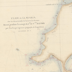
Surveying Maria Island, the scientists discover an Aboriginal tomb. They have several encounters with the Puthikwilayti — some friendly, others tense. Buttons, bottles and cloth are bartered but violence erupts when Aboriginal protocols are ignored.
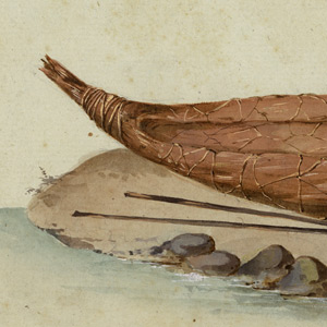
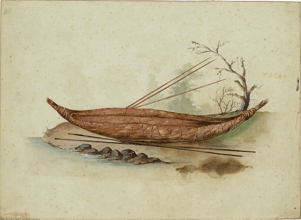
Rolled bark canoe with spears
Artist Charles-Alexandre Lesueur or Nicolas-Martin Petit
Muséum d’histoire naturelle, Le Havre—18005
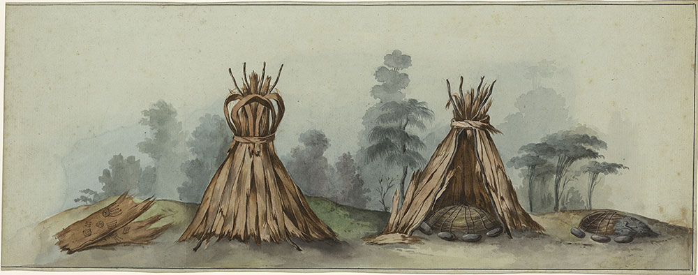
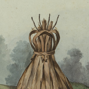
Tombs—Maria Island
Artist Charles-Alexandre Lesueur
Muséum d’histoire naturelle, Le Havre—18024
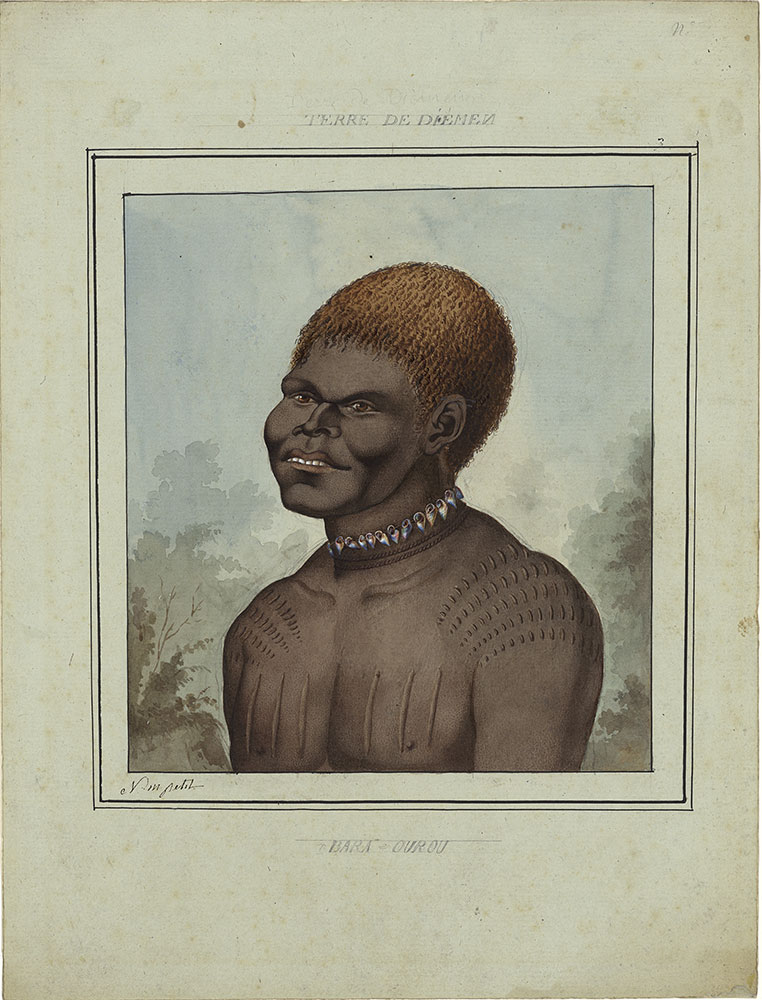
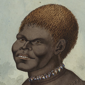
Terre de Diémen—Bara-Ourou
Artist Nicolas-Martin Petit
Muséum d’histoire naturelle, Le Havre—20019-2
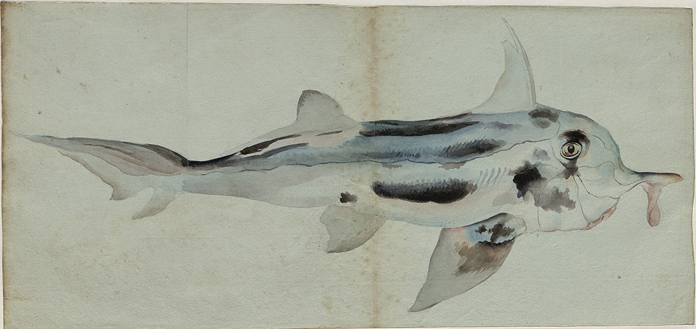
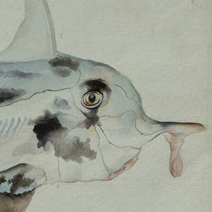
Elephantfish—Callorhinchus milii
Artist Charles-Alexandre Lesueur
Muséum d’histoire naturelle, Le Havre—76734
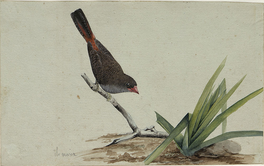
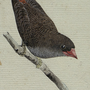
Beautiful firetail—Emblema bella
Artist Charles-Alexandre Lesueur
Muséum d’histoire naturelle, Le Havre—79011
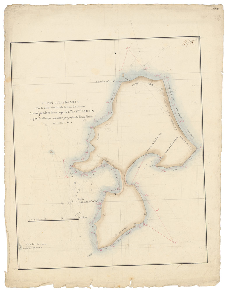
Draft chart of Maria Island
Archives nationales de France—MAP6JJA4-p5
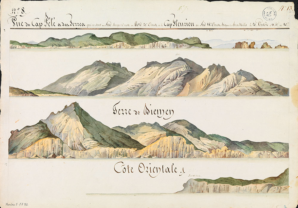
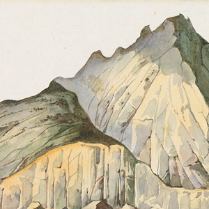
Vue du Cap Pelé (Cape Tourville, Freycinet Peninsula)
Archives nationales de France—sèrie Marine 5JJ511-13